Politics & Government
Manasquan Vehicle Will Roam Streets to Measure Elevations
Pilot project will start Feb. 26

If you see an unfamilar van driving down Manasquan streets, it could be crews tasked with testing out elevation technology.
Manasquan agreed to be part of a pilot program in conjunction with FEMA and Risk Assessment, Mapping and Planning Partners, or RAMPP, where the vehicle will use its sensory equipment to find home's first floor elevation as it drives around town.
"Essentially we want to let you know, there will be a vehicle, a pickup van, with an apparatus on top, that would almost mimic a dish," said Manasquan Borough Administrator Joseph DeIorio.
Find out what's happening in Manasquan-Belmarwith free, real-time updates from Patch.
The project is scheduled to start Tuesday Feb. 26. The agency will be driving a vehicle up and down streets to gather elevation. Though the buildings may be private property, the vehicle will stay on public areas and not venture off borough streets.
"If they see a vehicle driving up and down the street, don’t be afraid," DeIorio said. "There is nothing harmful about it."
Find out what's happening in Manasquan-Belmarwith free, real-time updates from Patch.
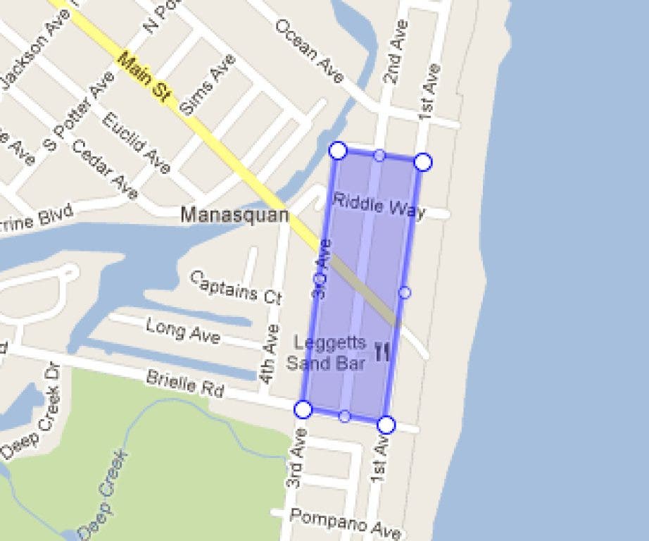
The vehicle will be heading up and down First and Third, riverside to Brielle streets.
DeIorio said Manasquan was chosen after a previous pilot program pertaining to social media also went well. "We were considered a friendly place to try this out," he said.
The vehicle is equipped with new technology to gather elevation, and the agencies are testing it out to see how accurate readings can be. DeIorio said it will not be used as part of any current elevation-related decisions, or otherwise impact base flood elevation and other post-Hurricane Sandy concerns.
"They are trying to gather real-time data," he said. "Other than flying a plane over, they are trying to use new technology to gather this info."
DeIorio said the vehicle "is still in testing mode."
The program, called Risk Assessment, Mapping and Planning Partners, or RAMPP, is a pilot program Manasquan was selected to join at the suggestion of FEMA. It will help form a flood risk assessment map of the borough that could in the future aid in the re-mapping of the county and coastal devastated areas.
The van has elevation monitoring equipment such as sensors, GPS devices, and lasers, will drive around Manasquan gathering data.
Get more local news delivered straight to your inbox. Sign up for free Patch newsletters and alerts.


